Into the future: new FSC QGIS Plugin features
Today we released a new version of the FSC QGIS Plugin (version 3.2.0 released 27th Februrary 2019). This feels like a real milestone for the FSC QGIS Plugin for a number of reasons. First is the sheer number of new quality features we've added, including:
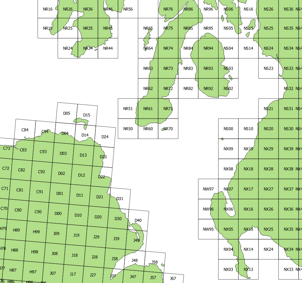
 ability to deal seamlessly with both British and Irish grid references;
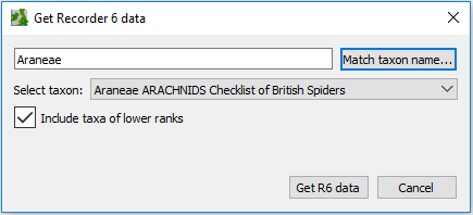
- ability to source records directly from Recorder 6 in the Biological Records tool;
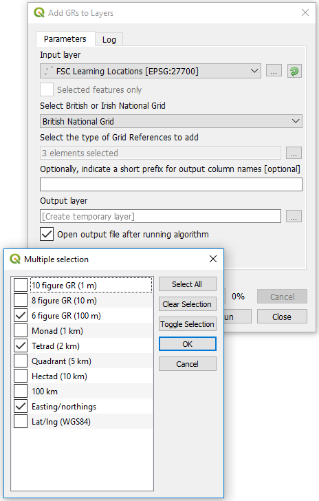
- a brand new tool to add British or Irish grid references, eastings/northings and lats/lons to any vector layer;
- new ability of the OSGR tool to read random text containing grid references (Irish or British) from which the GRs are extracted and added to the grid squares temporary layer; and
- ability to specify date/year columns in source layer in order to generate earliest and latest year columns in aggregated atlas data (which can then be used to style the layers).
There are other new features, improvements and bug fixes too. Most of the new features were added in direct response to the consultation which we carried out through this website and by direct feedback from users of the plugin at various meetings and conferences.
To find out how to use the new features, go to our online help pages and look at the pages for each tool: https://www.fscbiodiversity.uk/fsc-plugin-qgis-v3.
 A second reason for the 'milestone' feeling is that another contributor, Ian Carle from the Hertfordshire Environmental Records Centre, was responsible for conceiving the idea and carrying out most of the coding for the new Recorder 6 feature. Ian has contributed code to the project before, but this is the first time we've had such a major contribution from another open source developer. It really showed us that collaborative open source development, managed through the GitHub platform, can work for the FSC QGIS Plugin.
Which brings us to the third reason for the 'milestone' tag: although I am moving from the Field Studies Council to the Biological Records Centre, I will continue to work on the FSC QGIS Plugin into the future. To formalise and facilitate this collaborative development, we've transferred the GitHub repository (the place we keep the open source code) from my personal account to the Field Studies Council's organisation account (https://github.com/FieldStudiesCouncil/QGIS-Biological-Recording-Tools). To help us manage the future development, we've taken the first steps to develop a collaborative governance structure by forming a 'steering group' for this project (and the FSC Identikit which will be treated similarly). The initial group consists of:
- Rich Burkmar (BRC)
- Charles Roper (FSC)
- Martin Harvey (BRC)
- Andy Cawthray (FSC)
- Keiron Brown (FSC)
- Charlie Bell (FSC)
This group will correspond informally via email etc rather than meet formally. This is in no way a 'closed' group - the project will remain open to collaborative development from anyone else and will, of course, continue to welcome suggestions from others on what direction the plugin should take in the future. So please feel free to correspond directly with any of these people if you've ideas or suggestions to make for the future of the plugin or, if you prefer, you can raise 'issues' via the GitHub platform. (Don't be mislead by the term 'issue' - you can also use GitHub issues to make suggestions or ask questions.)
I never been as excited about the future of the FSC QGIS Plugin as I am right now! QGIS continues to go from strength to strength and I hope that the new steering group for the FSC QGIS Plugin will help ensure that British and Irish biological recorders and ecologists continue to leverage the benefits of QGIS to the full!
- rich burkmar's blog
- Log in or register to post comments


